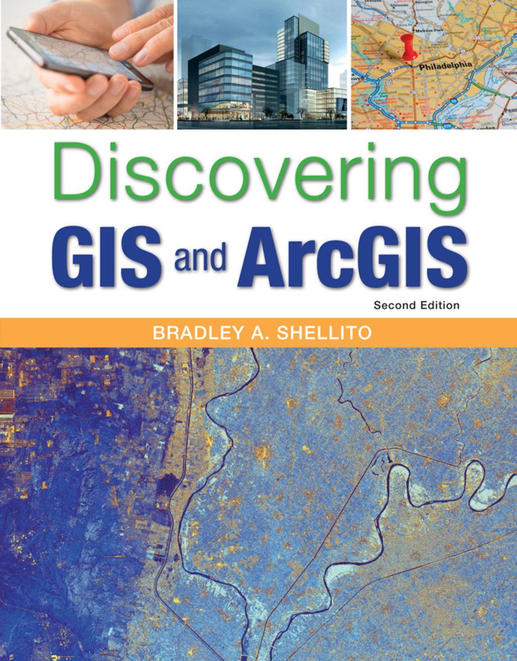
Each chapter focuses on using a variety of ArcGIS tools in a real-world context. At the start of each chapter, a scenario puts the student in a particular role with a number of tasks to accomplish. These scenarios include the role of a park ranger trying to find the best overland route to rescue a group of stranded hikers (Chapter 19), a delivery person finding the shortest driving route between a set of libraries (Chapter 11), and an urban planner trying to determine the minimum height necessary for constructing an observation platform (Chapter 15). Because the early chapters teach basic GIS and ArcGIS skills using data that can be easily replicated for a local area, the scenarios used are simple. The scenarios used in later chapters become more specific (as the book assumes that students have mastered the basic skills and can work with more difficult or involved tasks). In addition, each chapter describes professions and applications in the real world that make use of the chapter’s theory and skills.Additional ISBNs: 1319286585, 1319060471, 1319292267, 9781319286583, 9781319060473, 9781319292263Discovering GIS and ArcGIS 2nd Edition is written by Bradley A. Shellito and published by W.H. Freeman & Company. The Digital and eTextbook ISBNs for Discovering GIS and ArcGIS are 9781319060497, 1319060498 and the print ISBNs are 9781319060473, 1319060471
Be the first to review “Discovering GIS and ArcGIS” Cancel reply
You must be logged in to post a review.


Reviews
There are no reviews yet.