Hanssen R. F.0306476339
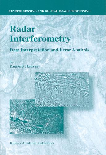
This volume is devoted to satellite radar interferometry (InSAR), a relatively new remote sensing technique used for geodetic applications such as topographic mapping and for high-accuracy monitoring of deformation of the Earth’s crust. It offers a geodetic perspective of the technique, using a functional and a stochastic model to describe the relation between the observations and parameters and to discuss issues such as accuracy, robustness, and error propagation. It explains both theory and applications and provides a resource for future studies in the field. Radar Interferometry presents a geodetic technique, complementary to GPS, laser altimetry, photogrammetry, and leveling and comments on its pros and cons for various applications. It features the technique of radar interferometry meteorology, a new application in the field of atmospheric studies. Fine-resolution mapping of the atmospheric water vapor distribution offers new insights for meteorologists.Audience: Radar Interferometry: Data Interpretation and Error Analysis is designed for researchers and professionals in geodesy, geophysics, and meteorology that can benefit from the use of remote sensing using interferometric radar. |
Table of contents :
Preliminaries……Page 1
Contents……Page 6
1 Introduction……Page 20
2 Radar system theory and interferometric processing……Page 28
3 Functional model for radar interferometry……Page 80
4 Stochastic model for radar interferometry……Page 100
5 Data analysis and interpretation for deformation monitoring……Page 180
6 Atmospheric monitoring……Page 216
7 Conclusions and recommendations……Page 266
Appendix A Comparison neutral delay GPS and InSAR……Page 274
Appendix B Structure function and power spectrum……Page 290
Bibliography……Page 296
About the Author……Page 318
Index……Page 320 |


Reviews
There are no reviews yet.